Flood preparations begin for June 25-27

The City of Leavenworth is preparing for flooding in some areas as forecasts from the National Weather Service's Advanced Hydrologic Prediction Service show potential for the Missouri River at Leavenworth to reach 24.8 feet. The forecast for the Missouri River is changing rapidly and can be viewed online here: https://water.weather.gov/ahps2/hydrograph.php?wfo=eax&gage=levk1
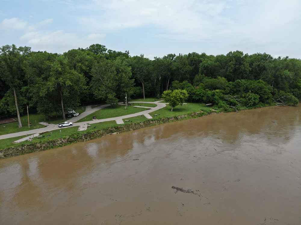
Predictions of 24.8 feet mean that the Riverfront Park and Campground, the Wastewater Treatment Facility and Second Street near the Wastewater Treatment Facility will have some flooding. This means:
- The Brush Site is closed.
- The Riverfront Park and Campground are closed.
- The boat ramp at Riverfront Park is closed.
- Second Street will be closed in some sections.
Forecasts predict the Missouri River will rise to crest sometime on Saturday June 26, then drop quickly June 27-28. For comparison, the 1993 flood was recorded at 35.4 feet and the 2019 flood was recorded at 31.31 feet. Residential properties typically do not flood during periods of Missouri River flooding.
SEE PHOTOS of the 2019 flood. https://photos.app.goo.gl/PGBVHBABHGPaZwTo7